The Hudson Valley sits in eastern New York State, along both banks of the Hudson River, starting at the northern suburbs of New York City and running roughly 150 miles north to Albany and Troy. That is the plain geographic answer: south edge at the city line, north edge at the Capital Region, river in the middle, counties on either side.
The question of where is Hudson Valley country and where it stops sounds simple, yet boundaries shift with every map that draws them. Tourism boards, state agencies and federal heritage programs each define the region slightly differently, so the edges blur at both ends. The river settles most arguments, because the tidal water that defines the valley runs exactly 153 miles from Troy to New York Harbor. For related coverage, see Hudson River Valley: A Region Measured in Towns, Tides and Painters.
So where is Hudson Valley, exactly?
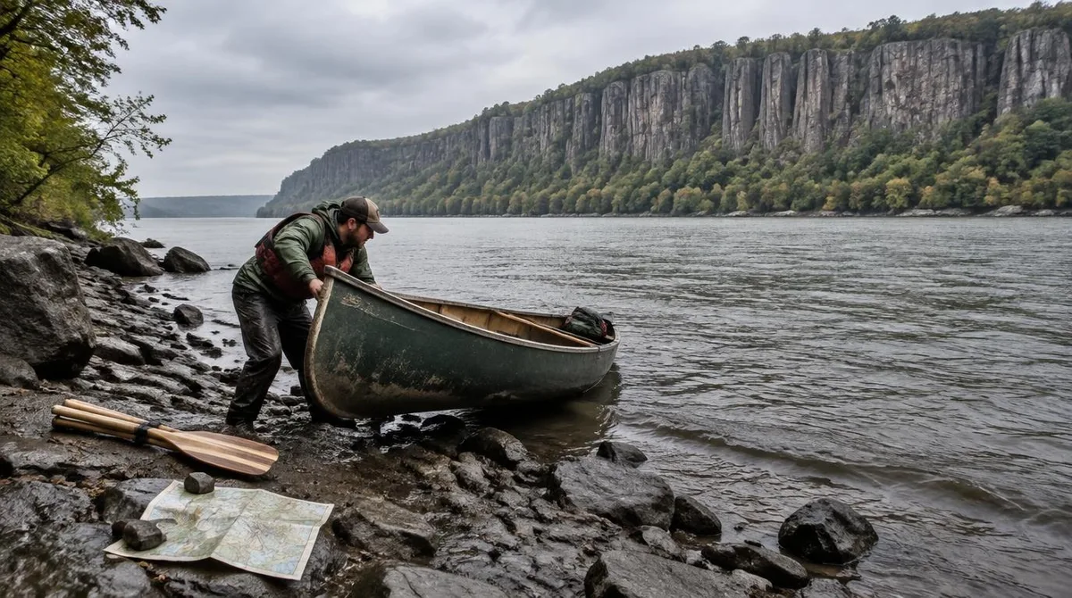
Start at the south. The valley begins where New York City ends, at the Yonkers waterfront on the east bank and the New Jersey state line on the west, where Rockland's palisades rise across from the Bronx boundary. From there the region holds both shores: Westchester, Putnam, Dutchess and Columbia on the east, Rockland, Orange, Ulster and Greene on the west.
At the north end, the valley dissolves into the Capital Region around Albany and Troy, where the river's tides stop at the federal dam. The Catskill mountains rise west of the river counties, close enough to shape valley weather and tourism but high enough to count as their own country.
The river that draws the line
The Hudson fixes the region's geography better than any county list. The river runs 315 miles in all, from Lake Tear of the Clouds in the Adirondacks to the Battery in Manhattan, and its lower half is a tidal estuary. That estuary feels the ocean's pulse all the way to Troy, with two high and two low tides each day, and the salt front shifts between the Tappan Zee in wet springs and Poughkeepsie in dry summers.
A valley defined by a tidal river behaves like a corridor, not a circle. Towns string along the water, rail lines follow the banks, and the region's identity thins out with every mile of distance from the shore.
The shape of the water shapes the answer. Because the river runs north and south, the valley runs north and south, and its width comes from the counties on either side rather than from any circle drawn around a city. Towns near the shore belong to the valley plainly. Towns in the hills belong when their roads, rails and weekend habits bend toward the river.
The official maps and what they show
Congress drew one version in 1996 when it designated the valley a National Heritage Area, later renamed for Congressman Maurice D. Hinchey. The state drew another through the Hudson River Valley Greenway, whose connected trail route now runs from Manhattan to Washington County, linking 289 communities and 106 heritage sites. The official maps answer where is Hudson Valley with lines drawn around the same river.
Neither map matches the other exactly, and county tourism maps add their own variations. All of them agree on the spine, though: the river from the city line to the dam at Troy.
Towns that mark the boundary posts
Boundary towns make the region easy to feel. Yonkers, at the southern end, reads as city suburb and valley port at once. Tarrytown and Nyack mark the wide southern reach. New Paltz, Rhinebeck and Hudson carry the middle and northern stretches, and across from Albany, Troy sits at the tidewater's end.
Residents of these towns use the valley name daily, which is the least official and most reliable boundary test available. A restaurant in Rhinebeck and a dock in Nyack share the same answer to the question of place, even though a hundred miles of river sit between them.
Conclusion: a corridor, not a circle
Answering where is Hudson Valley means describing a corridor with soft edges and a hard spine. The region occupies both banks of the Hudson from the New York City line north about 150 miles to Albany and Troy, includes the river counties of two states' worth of commuting range, and stops wherever the river's influence stops being the point of a place. Federal and state maps bracket the same territory around a 153-mile tidal estuary inside a 315-mile river. The honest summary fits in one sentence: the Hudson Valley is the land that faces the Hudson, from the city line to the dam at Troy. This connects to our earlier piece, Hudson Valley New York: The Counties That Make the Region.